uky-gis.github.io
GEO409: Advanced GIS
This course is developed to introduce intermediate and advanced topics in geographic information science and spatial analysis including theoretical and application areas. Building upon a range of GIS software systems this course covers geographic data collection, entry and editing, spatial analysis, interpolation, and map development and display.
This course is one of the three required for GIS & Mapping minor.
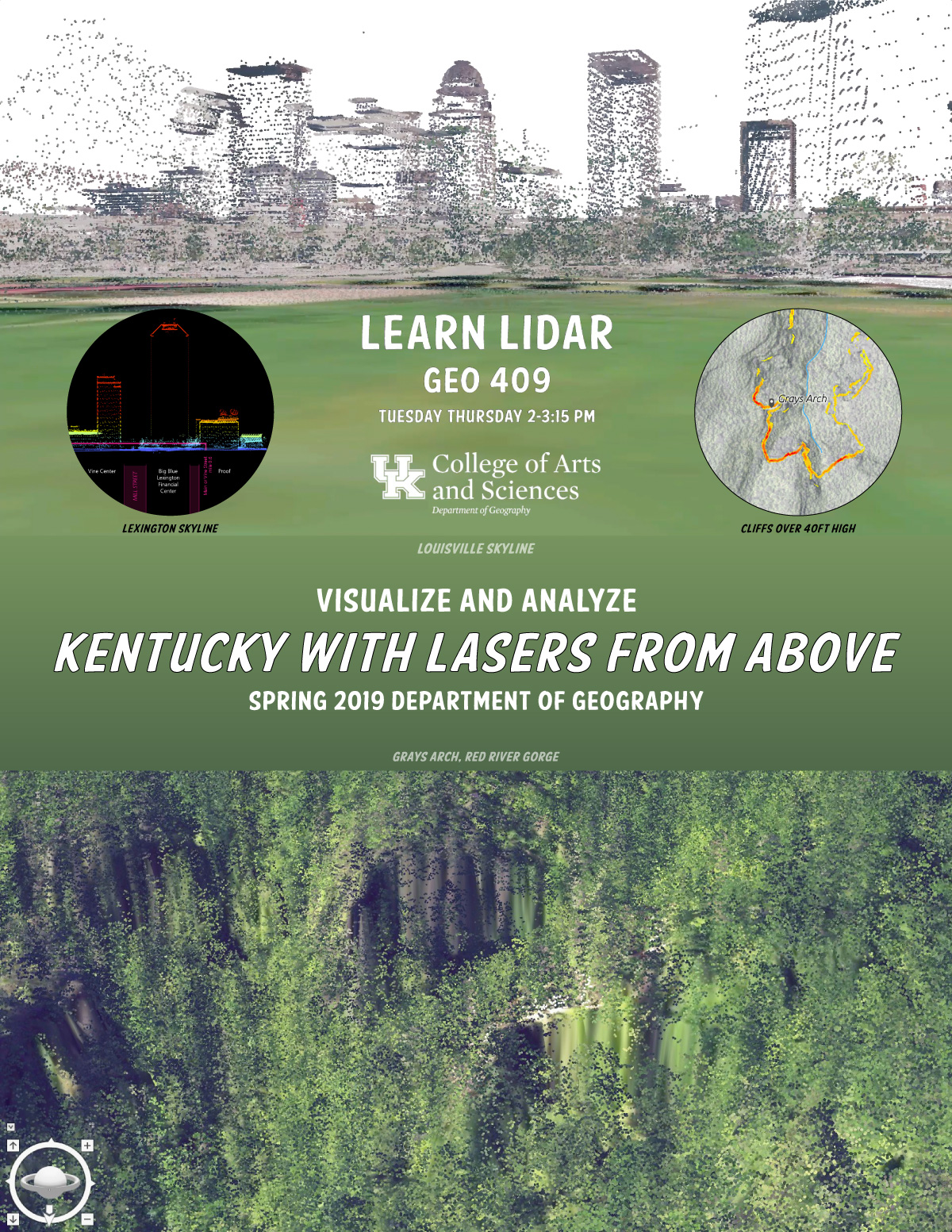
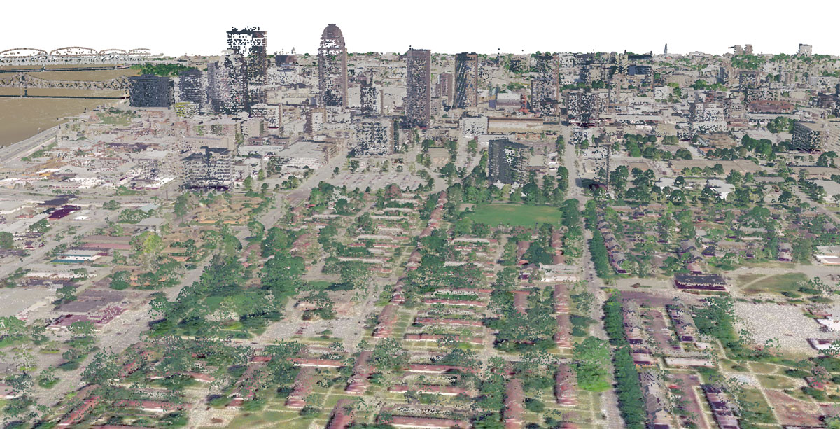
In Spring 2019, we will explore Kentucky’s lidar dataset recently made available for the entire state. The lidar data model encodes 3D position as a point in a massive point cloud. A single point can have attributes that represent an object’s type like ground, vegetation, and building top. In a GIS, we render point clouds as digital surface models where we can measure and analyze features in three dimensions.
Enroll in Geo 409 for the Spring 2019 semester!
Videos
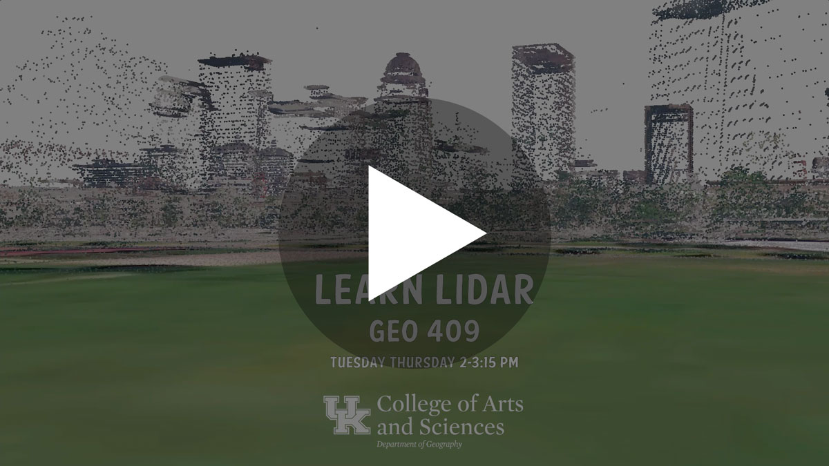
Louisville’s skyline rendered in 3d point cloud
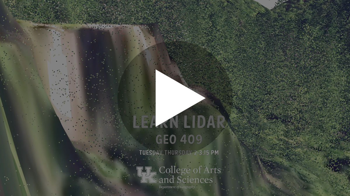
Grays Arch, Red River Gorge rendered in 3d point cloud
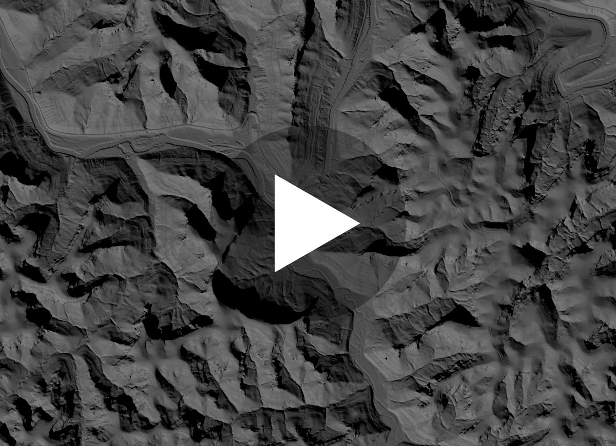
Illumination of bare-earth digital elevation model of Red River Gorge to approximate cliff face daily insolation rates
Presentation
Data and art: what we do in 409
Go Big Blue Nation!
Example of past class projects
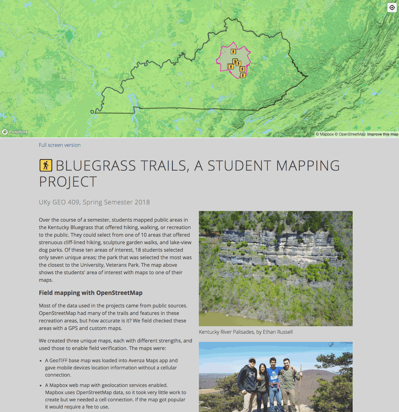
Bluegrass Trails - link

Town Branch Trail - link