Welcome!
Yesterday in the Great Smokies
Webcam archive
Webcam archive
GEO 509: Workshop in Geospatial Technologies
GEO 509
Workshop in Geospatial Technologies
Kentucky Mapshop
Instructor
Boyd Shearer
Contact information in Syllabus
Tell me about your interests
- In this private form
Review Canvas
- Course mechanics
- Syllabus
- Attendance and late assignment policies
Tech reqs 🔭
- ArcGIS Pro.
- Lab computers have all required software.
- You can work outside of the lab! You were sent an invitation to join our org and install software...
OS reqs 💣
-
No Windows OS?
- Get a virtual PC
- Shadow.tech 💯😎💰
- Parallels Desktop 💰🙂
- Virtual Den👌🤷
- Get a virtual PC
What helps me teach
A MAP WORKSHOP?
Make maps
- 25+ years designing maps for print and web
- outrageGIS.com
do workshops
- to make (and then test) our maps.
A map is
- An artistic rendering of space (x, y, z, t).
- A measurement of our environment.
- A tool for remembering the past and navigating the unknown.
PAST WORKSHOPS
GEO409 & NRES355
- Had more people and time.
- NRES355 meets six hours a week!
Pine Mountain
- We started with a recreation resource analysis, but...
- embrace pivots.
Then lidar is widely available
and the pandemic hitsTheme
The idea
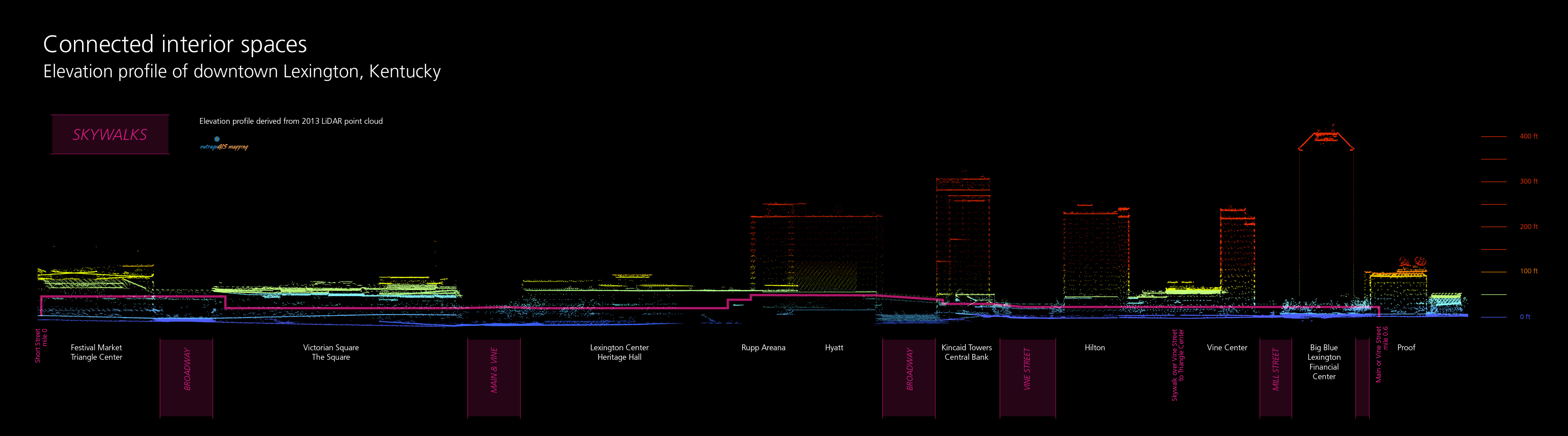
- Kentucky’s extensive archive of lidar point clouds (which shows topographic relief and above-ground features in unprecedented detail) can identify and analyze flood-prone infrastructure before conducting field work.
Lidar
- LIght Detection And Ranging
- Point cloud is densely sampled features using infrared lasers
- New frontier in mapping and analysis
Lidar example
-
Aerial lidar for entire state

- Ground and above-ground features
Lidar data
- Massive
- >20 TB for first edition
- State divided into 46,105 tiles
Technologies and methods
- Using lidar and its derivatives (e.g., DEMs) let's conduct field work before going into the field.
Bridges
- Can we find (private) bridges in our lidar data and measure their height above the stream?
Inundation
- Can we find show infrastructure impacted by a certain level of flooding with a height above river analysis?
Terrain modification
- Can we analyze the impact of widespread terrain modification from surface mining?
Uncertainty
- We don't know how well these methods will work.
- But...
- Make a web page publicizing the results of the analysis.
Community
Where will we work?
- and will we be strangers?
- Task 1 on Canvas.