Welcome!
Yesterday in the Great Smokies
Webcam archive
Webcam archive
GEO 409: Advanced GIS
GEO 409
Advanced Topics in GIS
With a distinct Kentucky flavor
Instructor
Boyd Shearer
Contact information in Syllabus
Tell me about your interests
- In this private form
Quick FAQ
Support
-
Office hours
- Wed: 1:30 pm – 2:30 pm
- Tr: 2 pm – 4 pm
- Zoom: by appointment and very flexible
-
In lab outside of class time
- By appointment with limited availability
- Weekends are an option
Course mechanics
- Canvas is where you start lessons and submit labs.
- The Course website is where you find presentations, which contain links to data and other resources.
Tech reqs 🔭
- ArcGIS Pro (FYI: free MOOCs).
- Lab computers have all required software.
- Use personal computer, but install required software.
Tech reqs 🔭
-
No Windows OS? (or want better computer?)
- Get a virtual PC
- Shadow.tech 💯😎
- Parallels Desktop 💰🙂
- Virtual Den 👌🤷
- Get a virtual PC
Instructor
What helps me teach
GIS & MAPPING?
Make maps
- 25+ years designing maps for print and web
- outrageGIS.com
photograph
- a map represents a real place
- with real processes & people.
explore
- new places
- with the chance of being lost.
experiment
- with new tools and methods
- to create a unique style.
& field trips!
- to measure and test our maps.
✨Data✨
Digital twin?
- Will our maps be as detailed as the real thing? A Roblox experience instead of a physical trip? 🤔
- Wear a VR headset and view this.
- A Metaverse trip to Mammoth Cave?
A map is
- An artistic rendering of Earth.
- A measurement of our environment.
- A tool for remembering the past and navigating the unknown.
- Are digital twins maps?
Past courses
- Stay local
- make snazzy visuals
- summary measurements
- and tell a story.
Examples
Spring, 2024
Spring, 2024
Spring, 2024
Spring, 2023
Spring, 2023
Fall, 2022
Spring, 2022
Older projects
Our goals
We will
-
Work in cutting-edge technology and data
- ArcGIS Pro
- Lidar
- Python
- Git & GitHub
-
Map a site in exquisite detail
- From feet to inches in resolution
- Create a public portfolio
ArcGIS Pro
- Leading GIS & mapping software (looks good on a resume)
- Well-documented help and extensive support
- We can stay almost entirely in AP
- Not free (like QGIS) and runs only on Windows OS 😞
Lidar
- LIght Detection And Ranging
- Point cloud is densely sampled features using infrared lasers
- New frontier in mapping and analysis
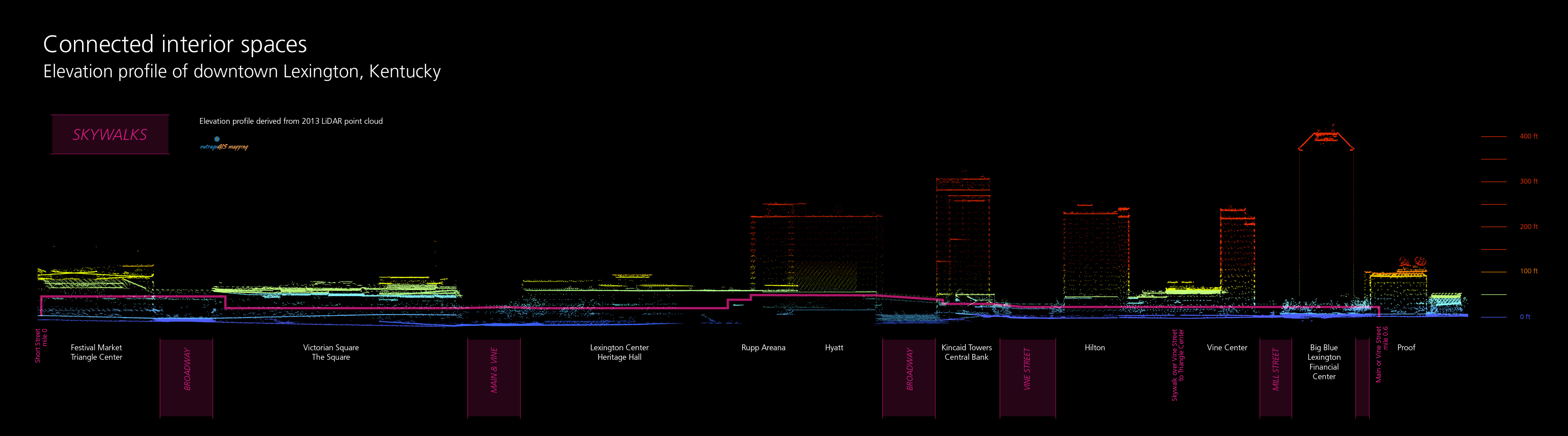
Lidar example
-
Aerial lidar for entire state

- Ground and above-ground features
Lidar data
- Massive
- >20 TB for first edition
- State divided into 46,105 tiles
- How to handle so much data?
Python
- Among the most popular programming languages
- We'll start with no programming knowledge
- Text-based instructions (aka code) make working with big data a lot easier.
Code > Visualize
Code examples
-
First challenge in learning code is understanding syntax.
- Comments
- Data
- Instructions
Why even code?
- When we have emerging tech like AI and ML?
- DALL·E generate, 'a map of kentucky'
- 'topographic map of kentucky, united states showing parks and forests'
Why even code?
- ArcGIS Pro seems like a primarily visual tool.
- Well, maps are visualizations of data.
- Data management majority of work.
- Code is a set of reproducible instructions.
PY4E
- Previous videos are from Python for Everybody, a free online course by Chuck Severance.
Git & GitHub
- Code management, backup, and collaboration.
- Learn basic web page development.
- Publish public portfolios of your maps. 😀😀
Theme
Topographic
- measurements and visualizations.
- Topography (place + writing) can include everything from the bottom up.
- Topography (place + writing) can include everything from the bottom up.
- Add the dimension of time. How does topography change?
Final project
-
Make 3D and 2D site map
- Interactive map,
- Potree point cloud renderer (Ky examples),
- Cesium Ion web platform,
- or a video.
- Publish online
Want to do well?
- Read the docs.
- Practice by experimenting.
- Keep in touch.
- Find your landscape.
"I just wanted to share some news! I accepted an offer to work at NV5 in Oregon this morning working w land use/ land cover, ... LiDAR! I wanted to thank you for all of your help over the course of the semester and the class itself which was a huge factor in me getting the job! I showed them my repos and HTML website and also brought a portfolio of some layouts from the semester, they were really impressed and having a background in coding and web mapping really set me apart from other candidates, so thank you so so much!"
"Hoping to connect. Your GIS class was what propelled me to an 8-year career in the field. When I tell people how I got into this industry it entails that course."