
Red River Gorge landforms, a student mapping project
UKy GEO 409
Over the semester, students mapped and visited arches, waterfalls, and other interesting landforms in Kentucky's Red River Gorge Geological Area. They adopted a landform and produced maps, analyses, 3D visualizations, and a web page that explores their arch. The area is managed by the Cumberland Ranger District in the Daniel Boone National Forest. The project is part of the GEO 409 coursework in the Department of Geography at the University of Kentucky. It also applies to the GIS & Mapping Minor. The course used ArcGIS Pro and Python.
Data sources and methods
- Lidar point cloud data from the KyFromAbove
- 2016 NAIP aerial color photography from USGS EarthExplorer
- GNIS Database of places names from the U.S. Board on Geographic Names
- Site visits to arch with handheld camera
The lidar data was processed in ArcGIS Pro to produce a bare-earth DEM. Focal statistic function was used on this DEM to estimate cliff heights and to help produce elevation contours. For the 3D animation, a lidar point cloud was colorized by the aerial image, filtered to include above-ground points, and added to a scene for animation. Python was used to help with data processing and analysis.
Project assets
Student media
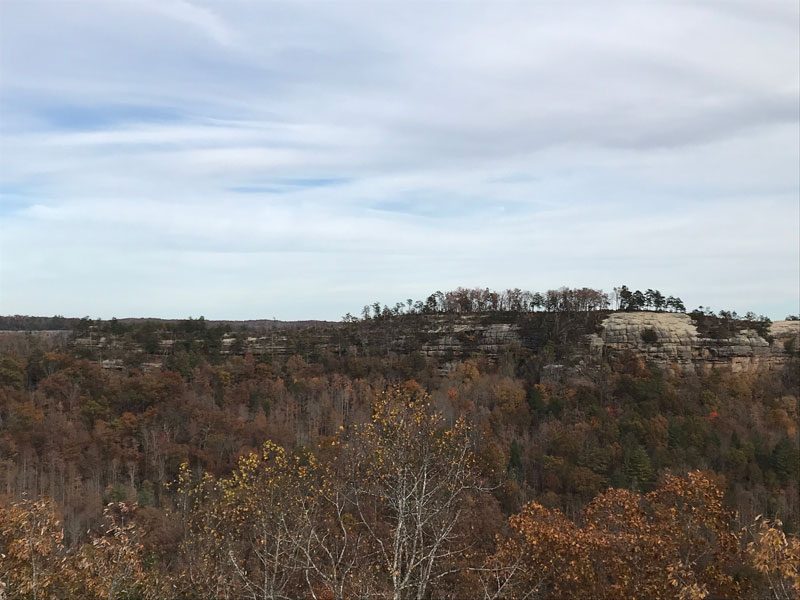
View from Double Arch from Auxier Ridge, by Bryan Gordon
Sand Gap Arch, by Paige Williams

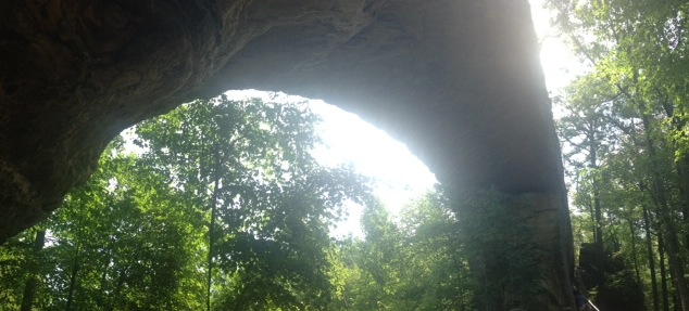
360 photograph under arch
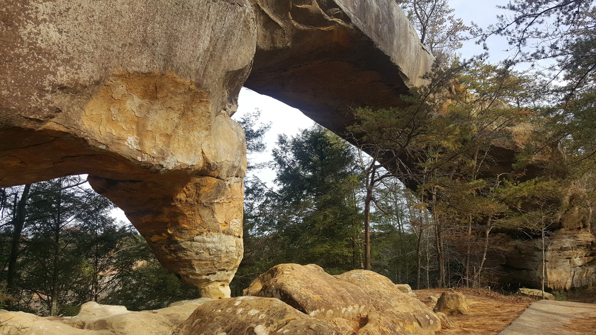
Views of Natural Bridge, Kentucky, by Hayden Dickens
Double Arch Tour, by Johnny Eblin
Star Gap Arch with/without tree canopy, by Andy Woods
Copperas Creek Falls with highlighted cliffs over 40 feet in height, by Zina Merkin
Animation of Double Arch with highlighted cliffs over 40 feet in height, by Hannah Johnson
SSky Bridge, by Kevin Dohner

Grays Arch, by Robert Lanza